
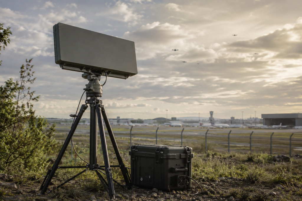
Radar Detection Systems are specialized low-altitude surveillance solutions designed to detect, track and monitor small, slow-moving and low-flying aerial targets, including unmanned aerial vehicles operating within protected or restricted airspace. By actively scanning the surrounding environment, radar systems provide continuous coverage and early warning, including when targets are not transmitting radio-frequency signals.
Depending on the configuration, these systems can determine a target’s distance, direction, altitude, speed and flight path, while supporting simultaneous detection and tracking of multiple aerial objects. Advanced signal-processing and target-classification technologies help distinguish UAVs from birds, vehicles and other environmental interference, improving detection reliability and reducing false alarms.
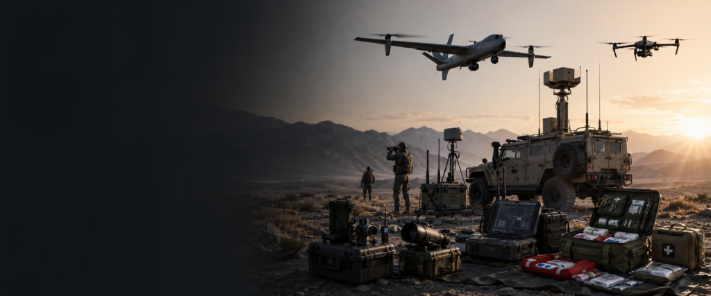
Radar solutions are available in portable, fixed-site and vehicle-mounted configurations. They can operate independently or be integrated with RF detectors, EO/IR tracking systems and counter-UAS command-and-control platforms. Once a target is detected, its coordinates can be transmitted to optical sensors for visual confirmation and continuous tracking.
Typical capabilities include:
- Continuous low-altitude airspace surveillance
- Detection of small and low-flying aerial targets
- Detection of autonomous or radio-silent UAVs
- Real-time range, direction, altitude and speed measurement
- Multi-target detection and tracking
- Flight-path visualization and trajectory recording
- Automatic target detection and alert generation
- Target classification and false-alarm reduction
- Day-and-night operation
- Wide-area and sector-based surveillance
- Fixed-site, portable and vehicle-mounted deployment
- Integration with RF and EO/IR detection systems
- Connection to command-and-control platforms
- Networked multi-radar coverage
Radar detection solutions can be configured according to the required detection range, target size, coverage angle, terrain, deployment method and integration requirements, supporting airspace monitoring for airports, borders, critical infrastructure, industrial facilities, public events and other protected locations.