

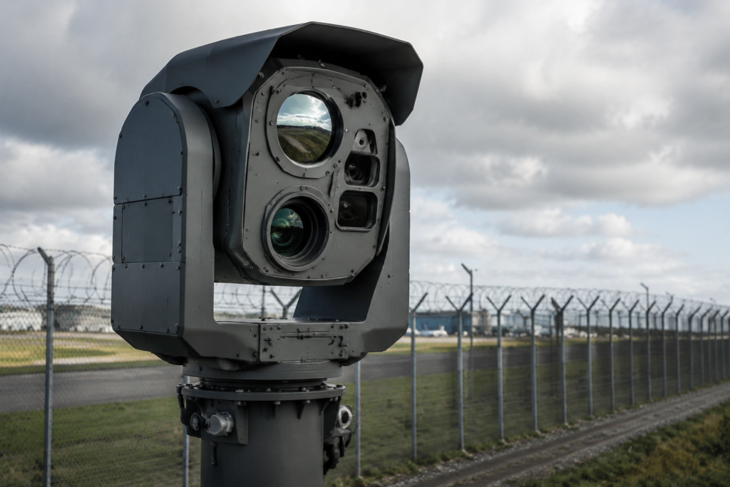
Professional Laser Rangefinders are precision electro-optical devices designed to provide rapid and accurate distance measurement for observation, surveying, inspection, monitoring and other demanding field applications. By transmitting a laser pulse toward a selected object and measuring the return signal, these systems calculate target distance in real time.
Depending on operational requirements, laser rangefinders are available as handheld monoculars, binocular-integrated devices, standalone modules or components integrated into EO/IR and long-range observation systems. They can support single or continuous measurement of stationary and moving objects across short, medium and extended distances.
Advanced configurations may incorporate digital compasses, inclinometers and GNSS positioning modules, enabling users to measure azimuth, elevation, horizontal distance, height difference and target coordinates. Multiple-return modes can assist with selecting targets in vegetation, complex terrain or challenging backgrounds.
Measurement results can be displayed directly through the optical interface or transmitted to external terminals, mapping software and command-and-control platforms. Rugged construction, intuitive controls and weather-resistant designs ensure reliable performance in demanding outdoor environments.
Typical capabilities include:
- Rapid and accurate distance measurement
- Short-, medium- and long-range configurations
- Single and continuous ranging modes
- Measurement of stationary and moving objects
- Line-of-sight and horizontal-distance calculation
- Height and inclination measurement
- First-target and last-target selection
- Multiple-target measurement
- Digital compass and azimuth measurement
- GNSS positioning and target geolocation
- Data storage and external transmission
- Integration with binoculars and EO/IR systems
- Handheld, tripod-mounted and platform-integrated deployment
- Eye-safe laser configurations
- Rugged and weather-resistant construction
Laser rangefinder solutions can be configured according to the required measurement range, accuracy, target characteristics, laser wavelength, optical magnification, environmental conditions and system-integration requirements. They are suitable for border and perimeter observation, surveying and mapping, forestry, infrastructure inspection, maritime monitoring, search and rescue and other professional applications requiring reliable distance and location data.