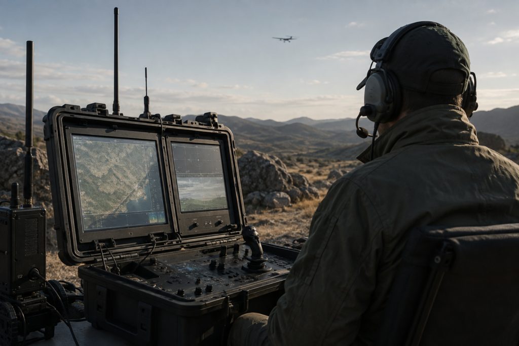
Ground Control Stations (GCS) provide the central command, monitoring and mission-management interface for unmanned aerial systems. Available in portable, ruggedized, fixed-site and vehicle-integrated configurations, they enable operators to manage aircraft, payloads, communications and mission data from a unified operational platform.
A typical GCS integrates mission-planning software, flight-control interfaces, digital maps, telemetry displays, video feeds and payload-management functions. Operators can plan routes, define waypoints and mission areas, monitor aircraft position and system status, manage onboard sensors and receive real-time imagery and mission data throughout an operation.
Depending on system requirements, ground control stations can support multiple communication links, external displays, mapping and geographic information systems (GIS), data recording, video management and integration with other command-and-control platforms.
Typical capabilities include:
- Mission planning and route management
- Real-time aircraft control and monitoring
- Position, altitude and flight-status display
- Telemetry and system-health monitoring
- Real-time video and imagery display
- EO/IR and other payload control
- Digital mapping and GIS integration
- Mission data recording and playback
- Multi-screen information display
- Communication and data-link management
- Multi-UAV management configurations
- Integration with external command-and-control systems
- Portable, fixed-site and vehicle-mounted deployment
Ground control station solutions can be customized according to UAV type, communication architecture, mission profile and operating environment, providing an integrated command platform for industrial, inspection, emergency-response, public-safety and security applications.