

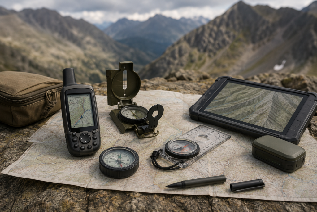
Professional Navigation Equipment combines satellite positioning, directional measurement and digital mapping technologies to support reliable location awareness, route planning and field coordination in remote or unfamiliar environments. Available solutions include handheld GNSS receivers, digital compasses, mapping terminals, vehicle navigation units and integrated positioning systems.
Multi-constellation satellite receivers can use GPS, GLONASS, Galileo, BeiDou and other supported services to improve positioning availability and accuracy. Depending on the configuration, devices may provide real-time coordinates, altitude, speed, heading, travelled distance and estimated arrival information.
Digital maps, waypoints, tracks and planned routes help users navigate between locations, record movement history and return along previously travelled paths. Offline mapping and locally stored geographic data support operation where cellular or internet connectivity is unavailable.
Advanced models may incorporate electronic compasses, barometric altimeters, inertial sensors, laser rangefinders and external antennas. Wireless or wired connectivity can enable the exchange of positions, routes and operational data with computers, mobile terminals, vehicles and command platforms.
Designed for demanding field use, navigation equipment can feature sunlight-readable displays, intuitive controls, rugged weather-resistant housings and long-duration battery systems.
Typical products and capabilities include:
- Handheld GNSS/GPS navigation devices
- Digital and magnetic compasses
- Digital mapping and route-planning terminals
- Vehicle-mounted navigation systems
- Multi-constellation satellite positioning
- Real-time coordinates, altitude, speed and heading
- Waypoint, track and route management
- Offline maps and geographic-data storage
- Electronic compass and barometric altimeter
- Movement-history recording and route reversal
- External antenna and sensor compatibility
- Wired and wireless data transfer
- Integration with laser rangefinders and observation systems
- Connection to team-tracking and command platforms
- Rugged, weather-resistant construction
Navigation solutions can be configured according to positioning accuracy, map coverage, communication requirements, operating duration and environmental conditions. They are suitable for search and rescue, emergency response, surveying, remote inspection, maritime and outdoor operations, and other professional applications requiring dependable positioning and route guidance.