
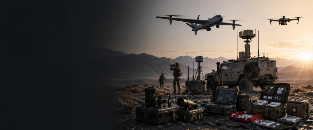
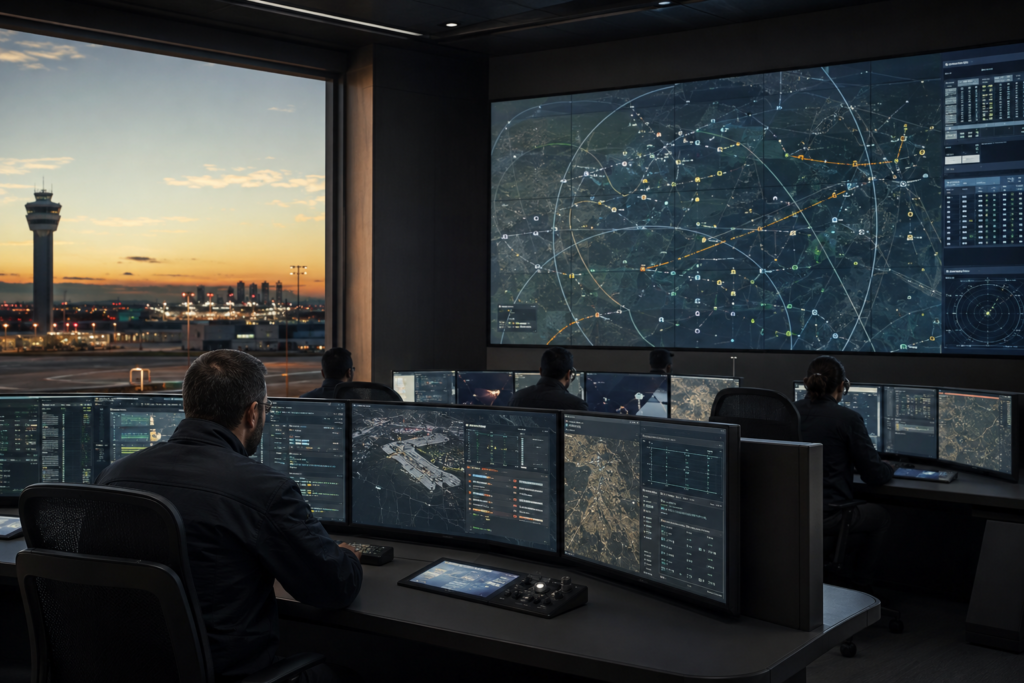
Airspace Monitoring Systems are integrated platforms designed to provide operators with a comprehensive, real-time view of low-altitude airspace activity. By collecting and correlating information from RF detectors, radar, EO/IR equipment and other sensors, these systems create a unified operational picture for detecting, identifying and tracking unmanned aerial vehicles and other aerial objects.
The platform can display target position, altitude, speed, direction, flight path, classification and threat status on a digital map. Sensor-fusion and data-correlation functions combine information from multiple sources, helping operators distinguish potential threats from authorized aircraft, birds and other objects while improving tracking accuracy and reducing false alarms.
Configurable monitoring zones, restricted areas and alarm rules allow the system to generate automatic warnings when a target enters, approaches or remains within a protected area. Operators can review real-time video, manage sensors, record incidents and coordinate response procedures through a centralized interface.
Typical capabilities include:
- Unified low-altitude airspace monitoring
- Multi-sensor data collection and fusion
- Real-time target positioning and tracking
- Digital map and flight-path visualization
- Target altitude, speed and direction display
- UAV identification and classification
- Multi-target management and tracking
- Configurable warning and restricted zones
- Automatic alerts and threat-level assessment
- EO/IR cueing and visual target verification
- Historical trajectory playback and event analysis
- Video, telemetry and sensor-data recording
- Multi-site networking and centralized management
- Integration with existing security and command systems
- Operator workstations and remote-access options
Airspace monitoring solutions can be customized according to the protected area, sensor configuration, coverage requirements, operational procedures and existing security infrastructure. They are suitable for airports, borders, ports, critical infrastructure, industrial facilities, government locations, major events and other sensitive areas requiring continuous low-altitude situational awareness.